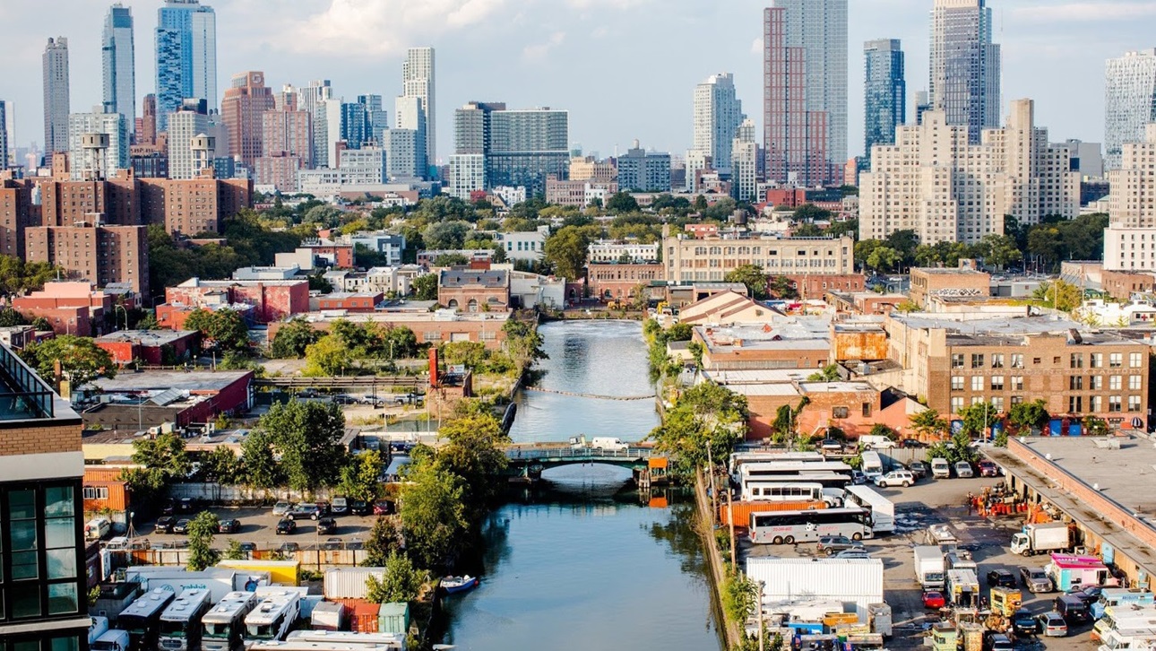
Urban Design Climate Workshop: Gowanus, Brooklyn
From Climate Science to Climate Action
This report focuses on how innovative land use and climate-adaptive strategies might improve quality of life by reducing the negative impacts of extreme heat and better managing stormwater-induced flooding and sea-level rise in Gowanus, Brooklyn.
This report is based on a 6-month long Urban Design Climate Workshop led by ULI New York, in partnership with the New York Institute of Technology (NYIT), the Urban Climate Change Research Network (UCCRN) – a global consortium on climate experts, and the Gowanus Neighborhood Coalition for Justice (GNCJ) – a community-based advocacy group. With guidance from the project partners, graduate urban design students at NYIT evaluated the 2019 heat maps in the Gowanus neighborhood and visualized the expected temperatures by 2050 under “business as usual” and best practice “heat-resilient” land use and development scenarios.
Unlike the ULI TAP process, where a final report reflects the recommendations of multidisciplinary ULI member experts, the Gowanus UDCW was planned, designed, and executed by graduate urban design students in the Architecture, Urban & Regional Design master's degree program at NYIT’s School of Architecture and Design, under the supervision of faculty and in coordination with a local ULI member taskforce. The proposed mitigations and intervention strategies offered in this report, as well as the overall approach for incorporating climate modeling into a rezoning proposal, may serve as a source of new and innovative ideas for ULI member practitioners, policymakers, and community leaders in addressing climate issues and advancing public health and resilience.
This report was made possible by contributions from project partners as well as generous support from the New York Community Trust.
Report Summary: This report focuses on how innovative land use and climate-adaptive strategies might improve quality of life by reducing the negative impacts of extreme heat and better managing stormwater-induced flooding and sea-level rise in Gowanus, Brooklyn.
This report is based on a 6-month long Urban Design Climate Workshop led by ULI New York, in partnership with the New York Institute of Technology (NYIT), the Urban Climate Change Research Network (UCCRN) – a global consortium on climate experts, and the Gowanus Neighborhood Coalition for Justice (GNCJ) – a community-based advocacy group. With guidance from the project partners, graduate urban design students at NYIT evaluated the 2019 heat maps in the Gowanus neighborhood and visualized the expected temperatures by 2050 under “business as usual” and best practice “heat-resilient” land use and development scenarios.
Unlike the ULI TAP process, where a final report reflects the recommendations of multidisciplinary ULI member experts, the Gowanus UDCW was planned, designed, and executed by graduate urban design students in the Architecture, Urban & Regional Design master's degree program at NYIT’s School of Architecture and Design, under the supervision of faculty and in coordination with a local ULI member taskforce. The proposed mitigations and intervention strategies offered in this report, as well as the overall approach for incorporating climate modeling into a rezoning proposal, may serve as a source of new and innovative ideas for ULI member practitioners, policymakers, and community leaders in addressing climate issues and advancing public health and resilience.
This report was made possible by contributions from project partners as well as generous support from the New York Community Trust.